Documenting Eroding Shorelines

Novel detection model may inform the engineering of more resilient coasts
As shorelines around the world continue to erode while sea levels rise, a Purdue University professor is developing a new process using satellite imagery to improve understanding of these changes and better predict their environmental and societal impacts.
Cary Troy, associate professor of civil engineering, leads a research team that has been studying coastal processes around the Great Lakes for more than a decade. Through the use of coastal mapping via satellite and lidar imagery, his team has cataloged a continual erosion of the Great Lakes coast that has, in some areas, eaten away the adjacent beaches almost entirely.
The shoreline detection model that Troy’s research team developed applies imagery from high-resolution satellites and is validated to have subpixel accuracy using beach survey data that were collected from the Lake Michigan shoreline using a novel backpack-based lidar system. The backpack system was developed by Ayman Habib, the Thomas A. Page Professor of Civil Engineering and one of Troy’s collaborators. The model was also compared to 132 satellite images of a Lake Michigan beach over a three-year period and detected the shoreline accurately with a more than 99% success rate.
The model also outperformed other existing shoreline detection algorithms based on different water indices and clustering techniques. The resulting shoreline position time series is the first satellite image-extracted dataset of its kind in terms of its high spatial and temporal resolution. The results pave the road to obtaining other high-temporal-resolution datasets to refine models of beaches worldwide.
The findings from their research, Troy said, have been concerning.
“What we’ve been seeing since we started documenting the Great Lakes’ coastal erosion is effectively a tug of war occurring between evaporation and precipitation — both of which show increasing trends,” Troy said. “This competition between offsetting hydrologic effects has resulted in dramatically increased frequency in water level extremes across all of the Great Lakes, and in turn, erosion.”
Undergraduate researcher Sophia Ung said the mosaic of satellite imagery the team is compiling paints a rather dire picture.
“The data indicates there has been pretty significant erosion along the Great Lakes,” Sophia said. “Right now, we’re working on determining the most vulnerable stretches of shoreline.”
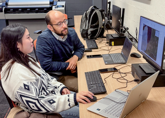
Undergraduate researcher Sophia Ung and graduate research assistant Hazem Abdelhady examine satellite imagery data.
Between 2013 and 2020, Troy said, the Lake Michigan-Huron water level increased nearly two meters, breaking century-old low- and high-water level records in the span of only seven years. The growing consensus among Great Lakes hydrologists is that future water levels are highly uncertain, but that more extreme water levels — both highs and lows — are likely to persist for decades to come.
“These rapid oscillations between extreme water levels wreak havoc on Great Lakes coastlines and the communities that live along them,” Troy said.
Based on research collected by Troy’s team, ocean coastal effects are felt in response to the steady sea level rise of around 3 millimeters per year. In the Great Lakes, sustained lake level rise rates of almost 300 millimeters per year over nearly a decade led to devastating effects on property, infrastructure, public lands and industry. In recent years, this damage was felt across all five Great Lakes as water level records of one type or another were broken during a recent high-water period.
“The ability to detect and quantify these changes is essential for the development and refinement of models that can predict such shoreline changes, in turn guiding the design and management of coastal areas that are more resilient to ever-increasing coastal hazards,” Troy said.
The shoreline detection algorithm has now been applied at nine additional Lake Michigan beaches, and results from this work are expected to be published later this year.
To further aid in this research, NASA announced in the fall that it would help fund Troy’s continued efforts with the possibility of expanding his work from the Lake Michigan test sites to shorelines in all five Great Lakes. The NASA project, funded by the Commercial Smallsat Data Scientific Analysis Program, seeks to leverage the technology not only to detect shoreline changes across the Great Lakes, but to use this data to train a Great Lakes-specific shoreline model that can help area coastal communities prepare for future conditions.