Lyles School researchers develop model for predicting floods
Lyles Researchers are developing new ways for simulating floods
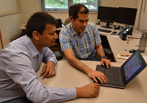
Lyles School of Civil Engineering Professor Venkatesh Merwade (right) and PhD candidate Siddharth Saksena review flood data collected from Hurricane Harvey.
As death rates and damage caused by floods continue to be among the highest of all types of natural disasters, Purdue University researchers are developing a system to give citizens and emergency teams as much time as possible to prepare and respond to them.
Venkatesh Merwade, professor of civil engineering, leads a research team that is working on developing a new approach for simulating floods in hyper-resolution. Merwade says that this approach is applicable for any region in the United States to accurately predict the effects of future floods.
"In order to create an accurate model for simulating the effects of flooding, you need as much data as possible," Merwade says. "With flooding continuing to be one of the leading global causes of death and property damage among disasters, any amount of extra time we can offer communities to prepare will be lifesaving.”
By creating a flood model for Hurricane Harvey — which most notably devastated Houston with floods — through gathering topography data, land-use, soil, climate and infrastructure data, Merwade's group has created an integrated simulation model for urban flooding. This model also requires road and stream network inputs to map the flood inundation from small streets to major rivers. Siddharth Saksena, PhD candidate, says he believes the work will certainly save lives.
"With such tools, people will know whether they need to evacuate sooner than they have before," Saksena says. "With the ability to predict flooding extent, from small- to large-scale, communities and community leaders will be able to act faster and more appropriately."
The predictive model also will arm city leaders with the information necessary to deliver more precise emergency warnings, Merwade adds.
"Not only will the tool allow governments to begin their emergency preparations sooner," Merwade explains, "but more importantly, they will know the best routes to take when evacuating. Knowing which routes to take when fleeing a flood is just as important as knowing when a flood event will happen ahead of time."
Merwade's research, funded through grants from the National Science Foundation, is in collaboration with multiple partners, including Information Technology at Purdue Research Computing, University of Minnesota and Streamline Technologies. The team is expected to publish its research this year.