Purdue Engineering Island on Google Earth
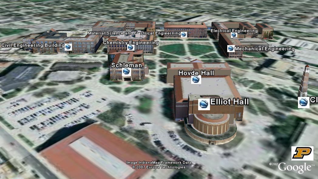
This photorealistic virtual rendering of Purdue's Engineering Island area is presented in Google Earth. The area contains 9 buildings and the bell tower in the Engineering Island area. The geometric models of the buildings were created via Google Sketchup. The image textures are from aerial images for roofs and from ground images for the walls. Clicking the icon by a building will display a brief description and a picture. The background imagery is very high resolution aerial photograph.
To view the file, you need to have Google Earth installed (free download).
Click here to download the file. (Note: The file size is about 50MB. To view, run the Google Earth program, go to File --> Open, and select the file.)
For questions and comments, please contact Prof. Jie Shan - jshan@purdue.edu.