Mapping Accuracy
Co-institutional center sets national standards for geospatial data use
As access to geospatial technologies grows, so does the likelihood of data misinterpretation — possibly to the detriment of entire communities.
With each passing year, the cost of geospatial technologies such as sensors, platforms, and AI-enabled processing becomes both more accessible and affordable to anyone from private businesses to home hobbyists. Unfortunately, this comes with several impactful downsides.
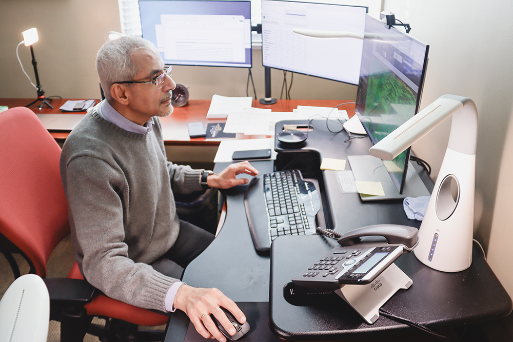
“We have been seeing a great many businesses and government agencies utilize geospatial tools for a great number of matters from land surveys to city planning, but there are no set guidelines for any of them to follow,” said Ayman Habib, the Thomas A. Page Professor of Civil Engineering and acting school head of the Lyles School of Civil and Construction Engineering. “What we seek to do is to ensure that geospatial data and product users have the framework in place so they can properly utilize and interpret geospatial data and products for well-informed decision making.”
To ensure the United States is better equipped to process geospatial data going forward, Purdue has teamed up with The Ohio State University and St. Louis University to form the Center for Accurate Georeferencing of the Environment (CAGE) to unite top researchers, industry partners and government agencies to redefine how the U.S. collects, processes and applies geospatial data. Habib will serve as site director at Purdue. His team will apply expertise in critical quality assurance and control processes to the project.
With support from a $2.25 million National Science Foundation grant, CAGE researchers will lead an Industry-University Cooperative Research Center (IUCRC) to strengthen the economic competitiveness of the U.S. geospatial industry. Member organizations and industry partners are expected to contribute an additional $2.5 million to the center over the next five years.
One example where this is especially needed, Habib said, is in the field of connected and autonomous vehicles (CAVs).
“As we enter into this new era of smart and self-driving vehicles and connected cities, accurate infrastructure data collection and interpretation is absolutely vital,” Habib said. “We need to ensure the availability of relevant geospatial information describing the readiness of our transportation infrastructure to support the needs of CAVs to safely operate.”
Beyond research, CAGE will serve as a national hub for workforce development, cultivating the next generation of geospatial scientists, engineers and leaders. The center will partner with schools, universities and industry to expand training opportunities and inspire a diverse talent pipeline — from high school to doctoral programs. Over the course of the year, Habib said his team will also look to add undergraduate and graduate student researchers to the team.
CAGE researchers will work closely with industry partners to ensure the center’s priorities align with current technology and workforce needs. Site directors and industry engagement offices at each university will collaborate to identify small and large businesses that could benet from joining the center.