Predicting Floods and Droughts
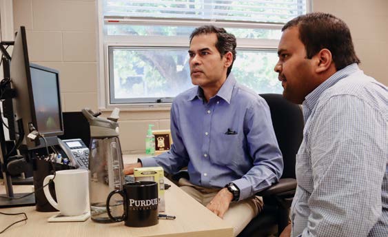
Professor Venkatesh Merwade (left) and PhD student Jibin Joseph review streamflow data.
New methods incorporate impact of land use and climate change
When predicting floods and droughts, researchers examine a river’s history. However, due to climate change and direct human intervention, history is swiftly becoming an inaccurate predictor, experts say.
Venkatesh Merwade, professor of civil engineering, and Sanjiv Kumar (MSCE ’08, PhD CE ’11), an assistant professor in Auburn University’s College of Forestry, Wildlife and Environment, are leading a research team that is analyzing long-term river discharge data for the entire contiguous United States to learn how past, present and future changes in climate and land use are impacting river flows. The need, Merwade said, is especially great because the methods experts have been using for decades are becoming less and less viable.
“Flood control and prediction had been viewed as being stationary but we are finding that is no longer the case,” Merwade said. “The current methods are not accounting for land use and climate change and these two factors have become more impactful than a river’s history when predicting floods and droughts.”
To gain greater insight into the changing river flows, Merwade’s team is studying and assessing the trends and stationarity in annual peak streamflow. The team is using 3,907 U.S. Geological Survey streamflow gauging sites and annual maximum runoff from Community Earth System Model version 1 Large Ensemble (CESM1-LE) datasets. These datasets feature 40 realizations of the historical and future climate and 18 realizations of preindustrial climate by using different tests to examine stationarity and nonstationarity on a continental scale.
Jibin Joseph, a civil engineering PhD student and graduate researcher, said the team’s goal is to track river data from 1850 to develop predictions up to 2100.
“Our goal is to use what we learned from historical data along with current climate and land use information to better predict the future,” Joseph said. “This requires an immense amount of data collection, processing and computation, but we believe this will lead to a more accurate flood prediction.”
Merwade’s team found that the annual peak streamflows at 33.6% of sites show a significant trend (both increasing and decreasing) over the contiguous United States. Further, the team’s research into watershed-scale data also indicates “that direct human intervention dominates the non-stationary response” with regard to peak-flow changes.
“The more we continue our study, the more apparent it becomes that direct human intervention is showing a more dominant large-scale impact on rivers in the U.S. than other factors, including land use and climate change,” Merwade said. “We also found that direct human intervention is not captured in climate models and our study will improve the climate model for better prediction of the future. While we are still in the process of collecting and analyzing data, we are confident that our research will contribute to the development of a more accurate flood prediction model for the future.”
Merwade said his team expects to publish its findings by the end of 2023.