Capturing City Sprawl
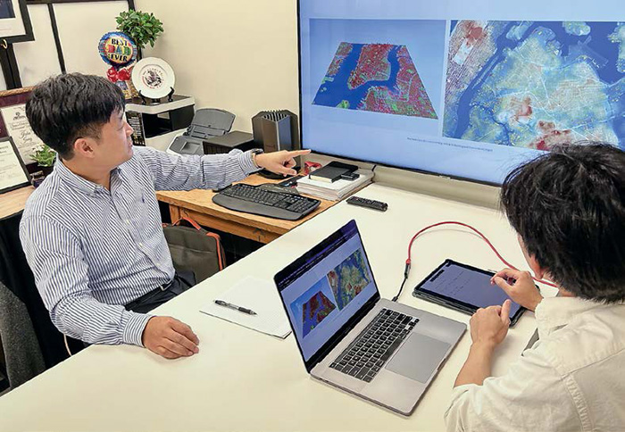
Professor Jinha Jung and PhD student Hunsoo Song input data to further enhance their 3D city model.
Accurate 3D urban mapping essential to inform mindful design, expansion
As cities continue to rise, expand and become more complex, current urban mapping systems become less reliable, Purdue University researchers said.
At present, more than 50% of the entire world’s population lives in cities. And, according to the United Nations Department of Economic and Social Affairs, that number will increase to nearly 70% by 2050.
These ever-expanding cities need more accurate mapping for both emergency and disaster response planning, and to lessen their environmental impact.
“As cities evolve and grow, so must our methods to accurately map them,” said Jinha Jung, associate professor of civil engineering. “The world’s major cities are only going to become more sprawling and complex every year and emergency and disaster response teams will only have more difficulty in their responsiveness without accurate, detailed mapping.”
As it is now, “current two-dimensional mapping is not a sustainable way to support building cities,” said Hunsoo Song, a civil engineering PhD student and graduate researcher. “Most 2D maps provide only coarse resolution information and lack 3D data, resulting in significant differences from actual 3D environments.”
These discrepancies, Song said, become particularly evident as cities grow denser and taller, increasing the need for 3D maps to precisely represent these urban environments. To address this problem, Jung’s research team is developing a 3D urban mapping system that would greatly increase the detail and accuracy of city layouts and significantly improve city planning. Members of the research team are collecting the image data from organizations such as the U.S. Geological Survey’s 3D Elevation Program and the U.S. Department of Agriculture’s National Agriculture Imagery Program.
“The rising demand for highly accurate representations of the 3D world in applications such as Digital Twins (a virtual model of a physical object) coupled with the growing discrepancy between 2D and 3D realities, underscores the need for a transition towards more comprehensive and scalable 3D mapping solutions,” Song said.
The issue of growing “urban heat islands” is also another chief concern Song said, where cities replace natural land cover with dense concentrations of pavement, buildings and other surfaces that absorb and retain heat. This effect, the U.S. Environmental Protection Agency states, increases energy costs, air pollution levels and heat-related illness and mortality.
“It is difficult to determine how to address the problem of hotspots, but we do know that mindful city design and increased landscaping help to alleviate it,” Song said. “To do a better job of reducing climate hotspots, we need more-detailed 3D maps so we can thoughtfully design our growing cities.”
Jung said the team expects to release a full report on its findings in 2024.