
Predicting Fire Before Flames
Digital twins reveal vulnerabilities across wildfire-prone communities
Each year, approximately 60,000 wildfires break out across the United States, with many igniting or spreading through the wildland-urban interface (WUI), where homes, infrastructure and natural landscapes converge. To help communities better prepare for and reduce wildfire impacts, the National Science Foundation has awarded nearly $2.5 million to a multidisciplinary research team led by Purdue University.
The project is led by Ayman Habib, the Thomas A. Page Professor of Civil Engineering, with collaborators at Purdue; University at Buffalo; University of California, Los Angeles; and the NSF National Center for Atmospheric Research. The team is developing multi-resolution digital twins of the wildland-urban interface that integrate geospatial data collected at multiple spatial scales, resolutions, sensing modalities and time periods. These digital twins will provide realistic virtual representations of WUI communities that can be used to evaluate wildfire behavior, assess community vulnerability and test mitigation strategies before fires occur.
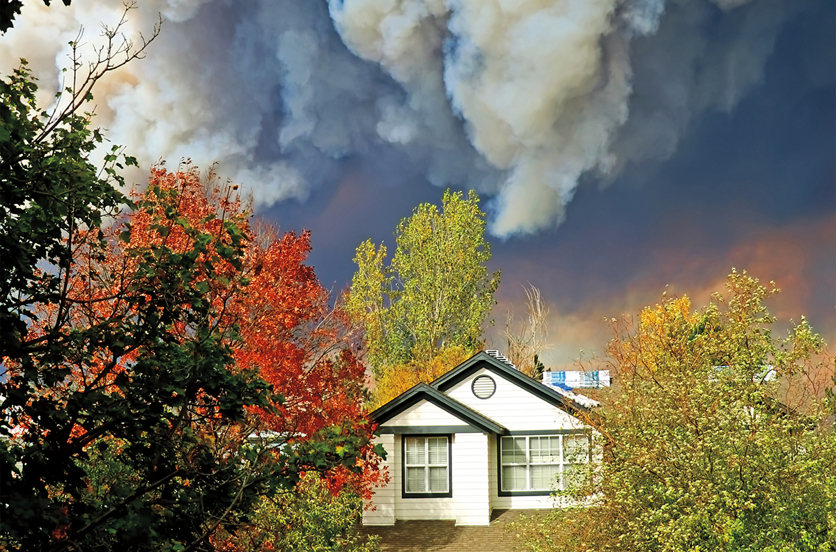
“Our goal is to develop a new generation of digital twins that support the proactive prevention and mitigation of wildfires at the wildland-urban interface,” Habib said. “By combining detailed geospatial information with advanced fire behavior models, we can evaluate wildfire risk under different conditions and determine how changes in the landscape, vegetation and built environment can reduce fire spread and improve community resilience.”
A major challenge is that existing geospatial datasets are collected at different resolutions, formats and time scales, making it difficult to create comprehensive digital twins that accurately represent both urban and wildland environments. The research team will develop new methods for integrating these diverse datasets into a seamless, multi-resolution representation of the WUI, providing the level of detail needed to capture wildfire behavior from the landscape scale down to individual structures and vegetation.
“Once completed, this project will provide communities with a powerful decision-support tool for wildfire planning, resilience and recovery,” said Mona Hodaei, CCE graduate student researcher. “We will build digital twins that allow planners and emergency managers to explore ‘what-if’ scenarios, quantify wildfire risk and evaluate strategies that can reduce future losses.” To develop, validate and refine the digital twin framework, the researchers will leverage extensive pre- and post-fire datasets from two catastrophic wildfire events: the 2025 Los Angeles wildfires and the 2016 Gatlinburg, Tennessee, wildfire. These case studies represent dramatically different climates, landscapes, vegetation types, ignition sources and community characteristics, enabling the team to develop broadly applicable methods for wildfire risk assessment and mitigation. The resulting multi-resolution digital twins will provide a scientific foundation for designing safer, more resilient communities and for supporting informed decisions that reduce wildfire impacts before disasters occur.
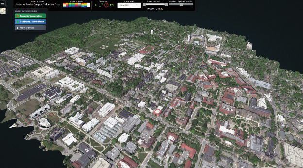
Figure 1 – Digital twin of the Purdue campus generated by Habib’s research group.
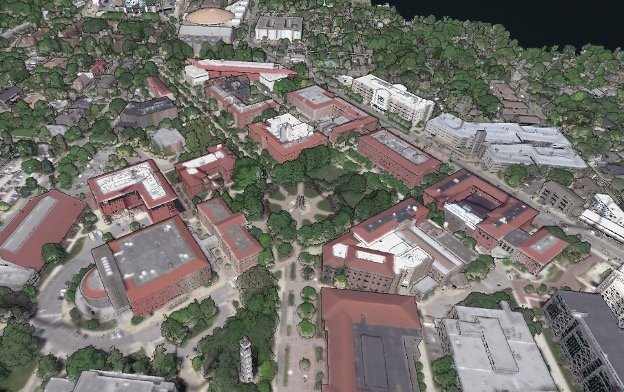
Figure 2 – Close-up example of a digital twin of the Purdue campus generated by Habib’s research group.