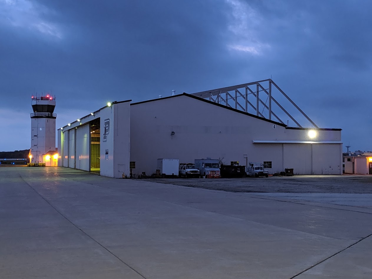
Purdue's home for drone autonomy and control
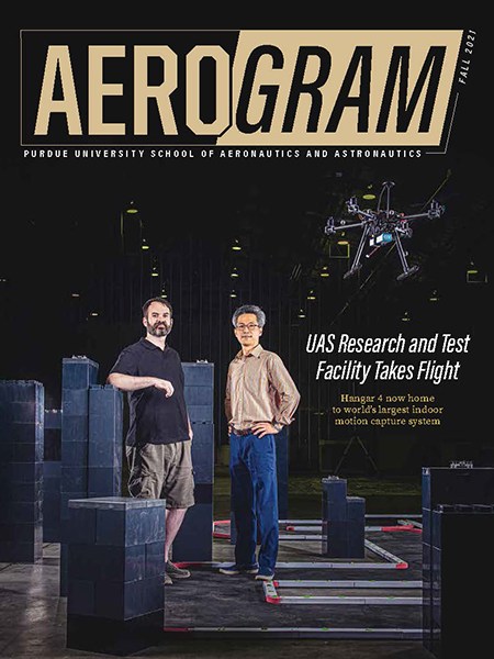
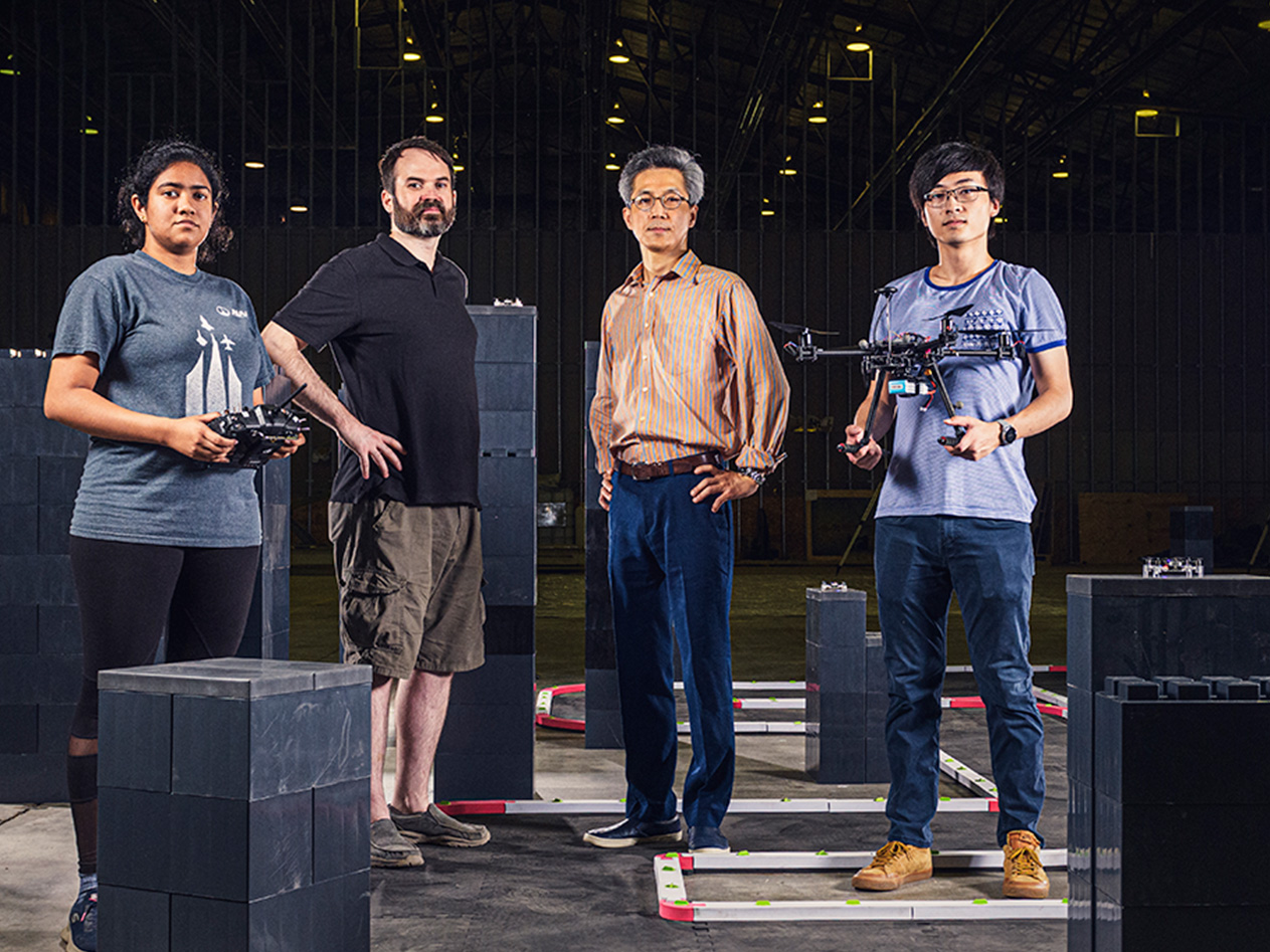
The Purdue UAS Research and Test Facility (PURT) can do what others can't. Our motion-capture system is unmatched in its size, and is one hundred times more accurate than GPS. Our 600,000 cubic feet of volume allows us to fly many types of drones, including fixed-wing, in a space protected from weather. Our camera system gives Purdue researchers unmatched precision to develop the unmanned aerial systems essential to the future of mobility.
Research done at PURT enables unmanned aerial systems (UAS) technologies like:
- emergency delivery of overdose treatments or other critical medications
- finding victims trapped under collapsed buildings
- searching for missing persons in wooded areas
- automatic monitoring of plant growth
Motion-capture systems like this are frequently used for movie special effects, but it has a special purpose here. By tracking the exact locations of anything in our space, we can conduct research that develops drone navigation algorithms, corrects for shortcomings with GPS and much more. The capture and virtual reality systems here offer significantly higher precision than commercially available VR equipment, and in a space of a much larger volume: PURT's footprint has an area of 20,000 square feet, and extends to a 30 foot high ceiling.
Explore our capabilities and successes:
PURT's UAV Challenge Competitions
PURT's competitions allow groups of students to show their abilities with drones in hands-on environments. Different conditions are presented in each competition, such as 2023's UAV Chase Challenge, which focused on drones' tracking AI, and 2025's Autonomous Fixed-Wing UAS Pylon Racing competition, where teams raced their drones' guidance, navigation, and control.
"A very, very unique facility"