Automatic positioning of traffic management cameras on roadway incidents
|
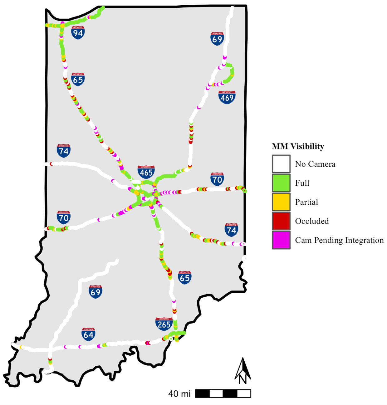
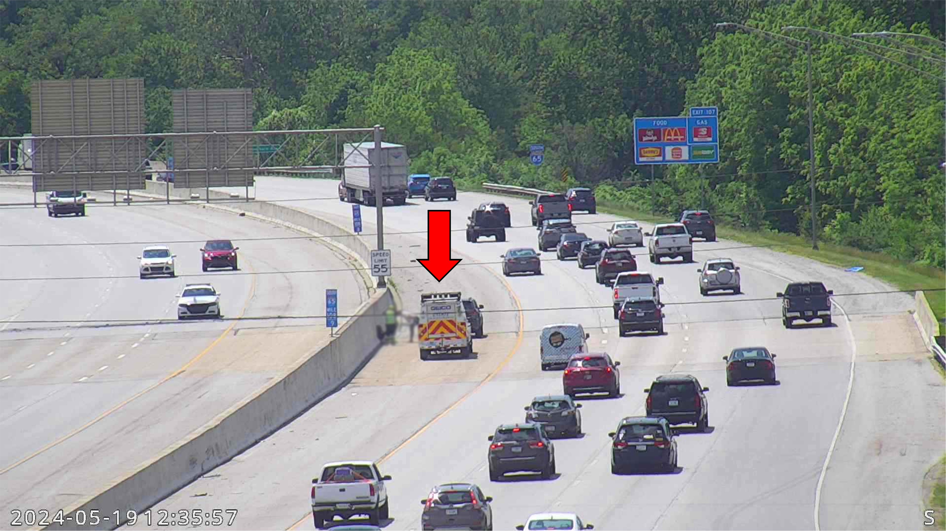
This research developed a camera-to-mile marker mapping technique that automatically sets the camera view to a specified mile marker within the field-of-view of the camera. Over 350 traffic cameras along Indiana’s 2250 directional miles of interstate were mapped to approximately 5000 discrete locations that correspond to approximately 780 directional miles (~35% of interstate) of camera coverage. A methodology based on LiDAR survey is also presented to position the cameras on the exact geographic coordinates of the incident. |
|
|
For more information, see the full Technical Report: Mathew, J. K., Malackowski, H., Koshan, Y., Gartner, C., Desai, J., Li, H., Cox, E., Habib, A., & Bullock, D. M. (2024). Development of latitude/longitude (and route/milepost) model for positioning traffic management cameras (Joint Transportation Research Program Publication No. FHWA/IN/JTRP-2024/03). West Lafayette, IN: Purdue University. https://doi.org/10.5703/1288284317720 |
|