

Purdue radio navigation lab is actively involved in multiple emerging research areas including precise positioning technology, remote sensing, and mission planning.
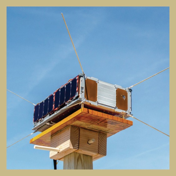
Signals of Opportunity P-band Investigation(SNOOPI)is a 6U CubeSat mission that will demonstrate and validate the in-space use of P-band signals of opportunity to measure root zone soil moisture and snow water equivalent.
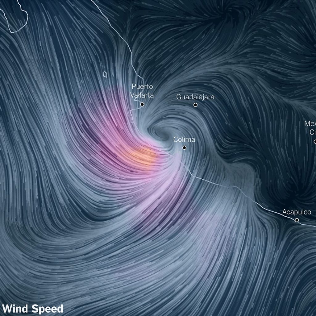
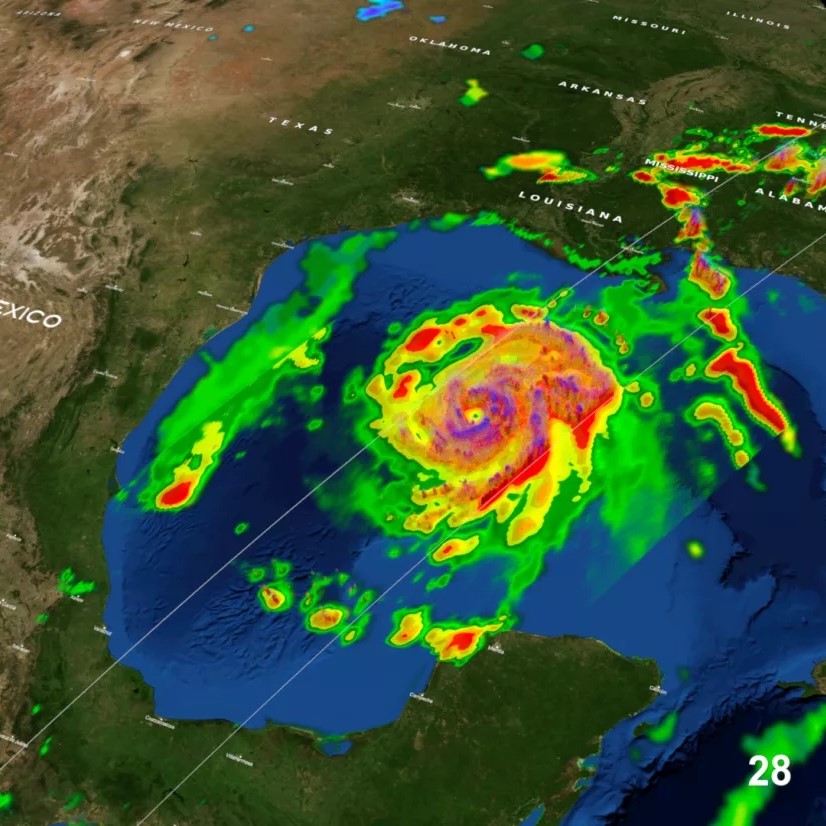
Using the GNSS-R signal we are able to track the ocean surface wind field and provide data on the tropical cyclone at a higher temporal resolution and provide a better understanding of the development of hurricanes and provide a better forecast.
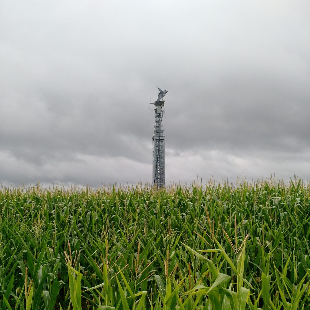
Signal of opportunity soil moisture sensing is a remote sensing technique that uses signals from existing communication systems, such as MUOS (Mobile User Objective System), to measure soil moisture content.
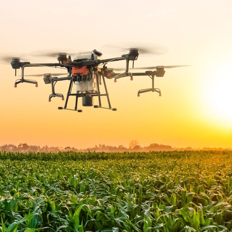
By placing the receiver onboard a airborne vehicle (piloted plane or drone). We can achieve wide area of sensing with high mobility.
GNSS ocean altimetry is a technique that utilizes the delay and phase shift of GNSS signals reflected from the ocean surface to measure sea surface height, providing valuable information on ocean dynamics and sea level changes.
Our lab in attempting to develop algorisms to achieve bistatic synthetic aperture radar with signals of opportunity.
Hurricane From Space
Video from NOAA