

Using the reflected signal from existing broadcasting satellites such as GNSS constellations, we can measure wind speed, soil moisture content, ocean surface height, etc.
With no transmitted signal, we can reduce the cost dramatically.
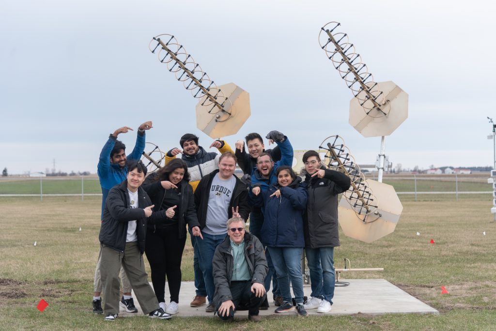
About us
Purdue Radio Navigation Lab mainly focuses on reusing the signal from the powerful communication transmission, extracting information from these signals as they pass through the atmosphere and scattered from the earth’s surface
Featured Research Area
Radio Navigation
Global Navigation Satellite Systems (GNSS) research aims to improve the accuracy and reliability of satellite-based navigation systems. We are developing new algorithms and techniques to enhance the performance of GNSS receivers such as introducing phase-difference measurement and better position algorisms.
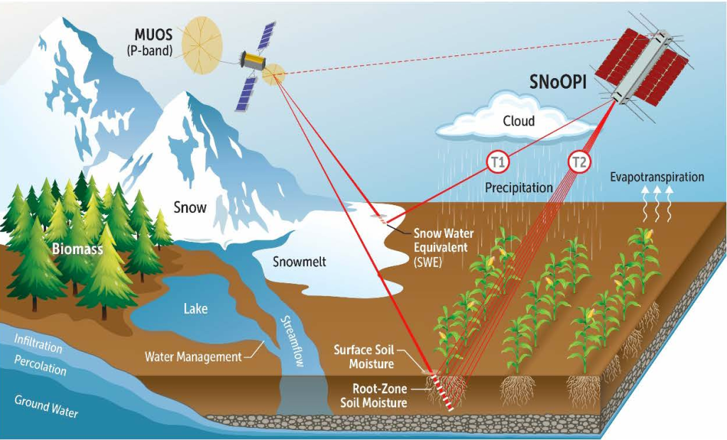
P-band SoOP
The P-band signal of opportunity is an emerging technology that utilizes signals from Global Navigation Satellite Systems (GNSS) operating in the P-band frequency range (around 400 MHz) for remote sensing applications. P-band signal allows deeper penetration into the root zone and measures the soil moisture content.
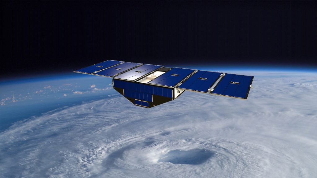
GNSS-Reflectometry
GNSS-R measures the delay, Doppler shift, and polarization changes in the reflected signals. This technology can be used in various applications, including weather forecasting, disaster management, and agriculture. Ongoing research is focused on improving the accuracy and resolution of GNSS-R measurements, as well as developing new applications for this technology.
Collaborator
Build The Future With Us