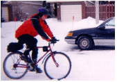
By looking at four days of maps for temperature, wind speed, and wind chill temperatures, students are given a fifth day with maps for temperature and wind speed. Their task is to determine what the map for wind chill temperatures will look like, specifically for the state of Montana. They will then write a letter their thought process for determining this 5th map.
Click on the picture to see the complete text. Use your browser back button to return to this page.
